
Experts say development and conservation can happen together
Tantramar council is once again being asked to consider how wildlife corridors can be protected as part of future development planning.
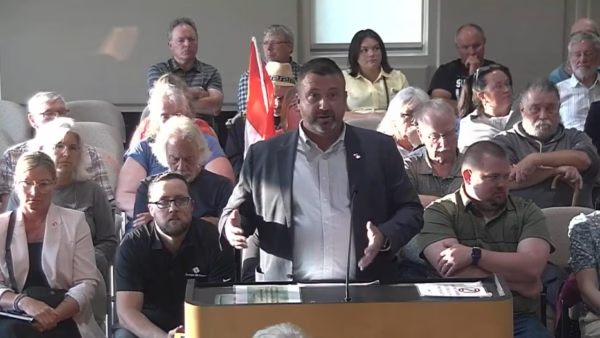
Members of the municipality’s Climate Change Advisory Committee presented to council earlier this week, revisiting a topic last discussed about two and a half years ago. This time, presenters emphasized that municipalities have direct tools to influence how development interacts with environmentally-sensitive areas.
Douglas Bliss spoke during the meeting on behalf of the committee.
“You last received a presentation about two and a half years ago on wildlife corridors and so we’re here again because there’s certain elements that you, as the municipality, actually have authority and control to do.”
Bliss said the renewed discussion comes at a time when development pressures are increasing in the region.
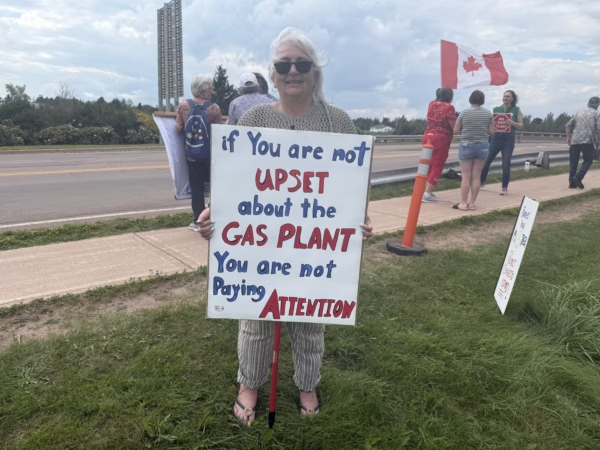
“We are here because there has been a lot of controversy in the last six months about a gas turbine plant.”
What wildlife corridors are and why they matter
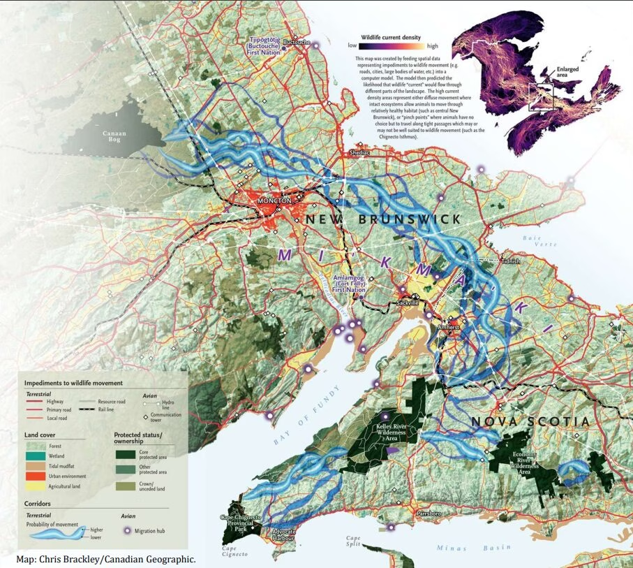
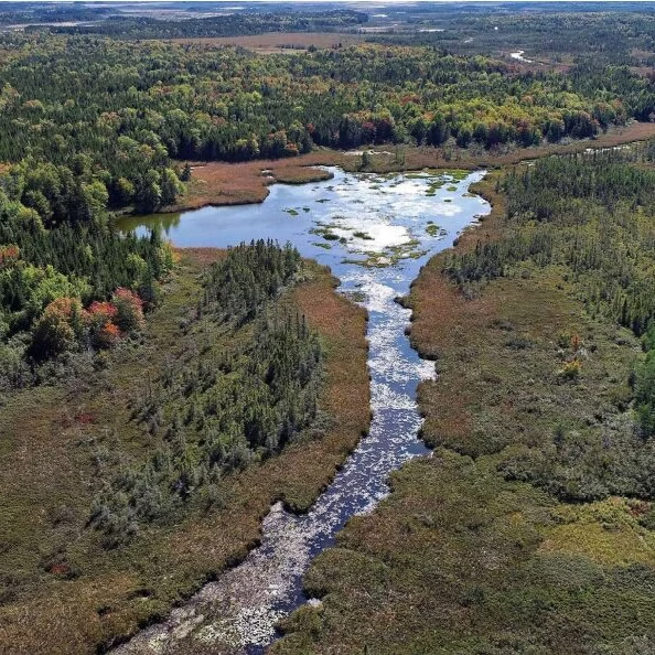
The presentation outlined how wildlife corridors connect forests, wetlands and coastal areas, allowing animals to move safely between habitats.
Adam Cheeseman also presented to council. Cheeseman works with Nature NB.
“A wide range of species call this region home and also use it as part of their daily and kind of seasonal movement patterns.”
Presenters said these corridors are not limited to large animals like deer or moose. They also include birds, insects and amphibians moving through the region.
They pointed to local areas such as Johnson’s Mills and Cape Jourimain as key parts of the Atlantic Flyway, a major migratory route for bird species moving through southeastern New Brunswick.
Development and conservation can coexist
Presenters stressed that protecting wildlife corridors does not mean halting development, but instead planning where development occurs.
Bliss told council both goals can be achieved at the same time.
“We want to talk to you about why wildlife corridors are important and why the two, development and wildlife protection, can happen at the same time.”
Examples from Prince Edward Island and nearby Cumberland County were cited as places where planning tools are already being used to guide development away from sensitive areas.
Cheeseman said the region is at a critical point.
“This represents a strong opportunity and I think obligation to act.”
Planning tools and policy options
The presentation also highlighted ongoing work to map key habitats, improve data collection, and incorporate Indigenous knowledge into planning efforts.
Melanie Jaillet also spoke to council. Jaillet works in conservation planning.
“We need growth that aligns with environmental resilience and is supported by encouraging development to occur outside of the wildlife corridor.”
Jaillet also explained that not all protected areas are treated the same. Some are considered core habitats, while others act as buffer zones or connections between them.
“The core protected areas where the modeling would’ve started from and where it ended.”
Council questions and next steps
Council members asked several questions following the presentation, including how wildlife corridors are identified and how they intersect with infrastructure like roads.
At one point, councillor Bruce Phinney asked whether wildlife collisions in the region have resulted in fatalities, prompting discussion about safety considerations alongside environmental planning.
The issue is expected to come up again as Tantramar continues work on future municipal planning documents.

Clinton Davis is a community journalist and audio producer covering the people, events, and ideas shaping the Tantramar region.